 Electronics Weekly
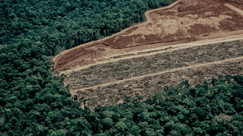
The Finnish company, which describes itself as a “leader in disaster intelligence from space”, says the system will use its constellation’s data to provide near real-time visibility into forest loss. This is for law enforcement agencies, government officials and conservation NGOs.
The major advantage of SAR imagery is that it operates day and night through all weather conditions, including cloud (or smoke) cover.
Deforestation
“When forests are under threat, timing is everything,” said Iceye’s vice-president of government solutions, Andy Read. “SAR removes the blind spots that have historically limited monitoring and enables a continuous stream of trusted intelligence.
“That shift in speed and persistence is game-changing for the authorities and conservation partners responsible for protecting these landscapes.”
The company highlights it has been monitoring forest change across Brazil for several years. For example, it has observed deforestation patterns in remote regions where traditional optical monitoring has been intermittent.
Congo Basin
The Jane Goodall Institute is one of the organisations that has collaborated with Iceye to monitor the habitat of chimpanzees in the Congo Basin.
“Reliable, persistent monitoring is critical for protecting wildlife and natural habitats,” said Dr Lilian Pintea, vice-president of Conservation Science at the Jane Goodall Institute, which collaborates with Iceye to monitor chimpanzee habitats across the Congo Basin. “Illegal mining and deforestation are accelerating in remote regions. Access to near real-time, cloud-penetrating data strengthens our ability to document impacts, prioritise threats and advocate for immediate action.”
Also, according to Global Forest Watch, Brazil lost 28 million hectares of tree cover between 2000 and 2020. This represents a nearly 6% net decline.
SAR
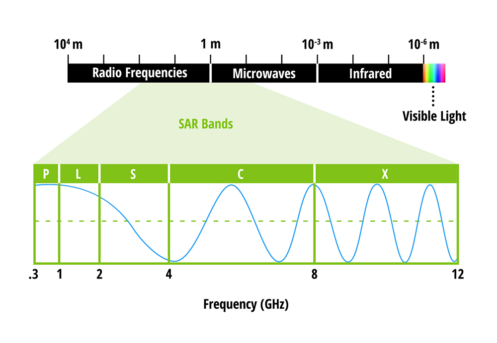
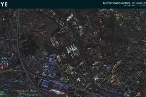
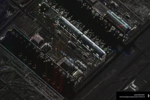
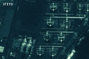
As mentioned, an advantage of synthetic aperture radar – compared to typical optical image data – is that it enables day-night, all-weather imaging. It can be described as a type of active data collection. A sensor records the amount of energy that reflects back to it. This makes it responsive to surface characteristics, such as building structures and atmosphere moisture.
It is a “synthetic” aperture because it combines a sequence of data acquisitions from a shorter antenna. This is to simulate what would be a much larger antenna.
As of December 2025, Iceye has 62 satellites in orbit. The Helsinki company highlights this as the world’s largest SAR constellation.
Image: Iceye