 Electronics Weekly
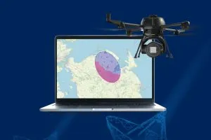
The system looks to fuse radar, optical, and RF/Remote ID sensor data into a unified view – the company describes it as its multi-sensor device.
Unified
According to MatrixSpace, this reduces false alarms while improving identification of smaller devices. For example, low-flying, and evasive drones. And this applies to complex environments such as public events, critical infrastructure, and operational theaters.
The MatrixSpace Fusion 360 also distinguishes hostile “dark drones” from compliant or friendly aircraft, says the company.
The portable version is MatrixSpace Fusion 360 Poratble.
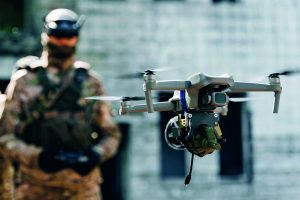
Drone activities
“We take a radar and AI-first approach to low airspace awareness, resulting in a much higher quality output for users,” said Matt Kling, VP and General Manager, AI Systems, MatrixSpace.
“Fusion 360 replaces a typically siloed approach, which is costly and misses critical drone activities. Our customers require a fail-safe, flexible, affordable solution, without wasting time on false threats.”
There is integration for use with counter-drone architectures such as NINJA (US, AFRL) and SAPIENT (UK, Dstl) and (A)TAK (Android Team Awareness Kit, fo ruse by non-government agencies.
AI
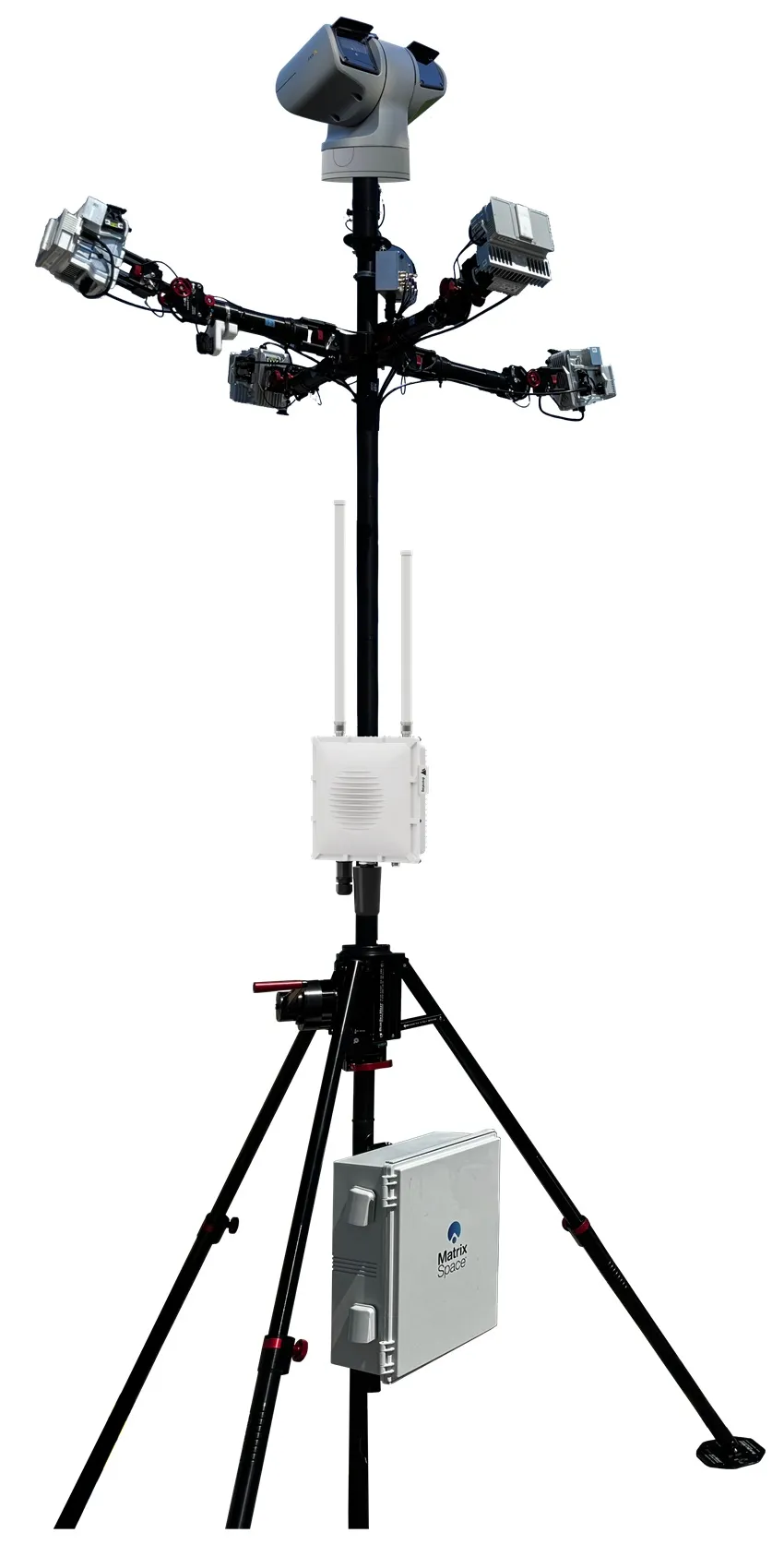
The system uses the compnay’s AiCloud platform.
This combines the data feeds from the multiple sensors: radar, optical, ADS-B, Remote ID.
It collects real-time data across distributed sensor clusters (nodes) and sites (groups of nodes). And then visualises it for remote operators.
Using EdgeAI – processing data locally on a GPU – the device can operate autonomously if connectivity is lost. It will securely record all local sensor data for review and analysis once connectivity is restored, says MatrixSpace.
You can read more on the company website, but detailed specs are available on request.
MatrixSpace
The headquarters of MatrixSpace are in Burlington, Massachusetts.
Image: MatrixSpace
See also: Saildrone, Lockheed Martin develop marine drone defence capabilities